Lake Garda route library

Choose your Lake Garda adventure.

Compare eight clearly defined routes with official starts, sourced metrics, surface, suitable bikes, safety advice and points of interest.

Route conditions, weather, works and transport can change. Follow local signs, check the linked official source on the day and do not use the SS45bis as a cycle-path connection to Riva or Torbole.

Every ride starts with collection at Via IV Novembre 20

The route sheet keeps the shop collection point separate from the route's official start. Follow the access plan on each card.

For Riva or Torbole, prefer the boat

Do not cycle the SS45bis to reach Riva or Torbole. Use a scheduled boat that accepts bicycles, then start at the official route point.

Bicycles are generally accepted except on catamarans and speedboats. Check timetable, vessel type, fare and available space first.

Check official boat timetable
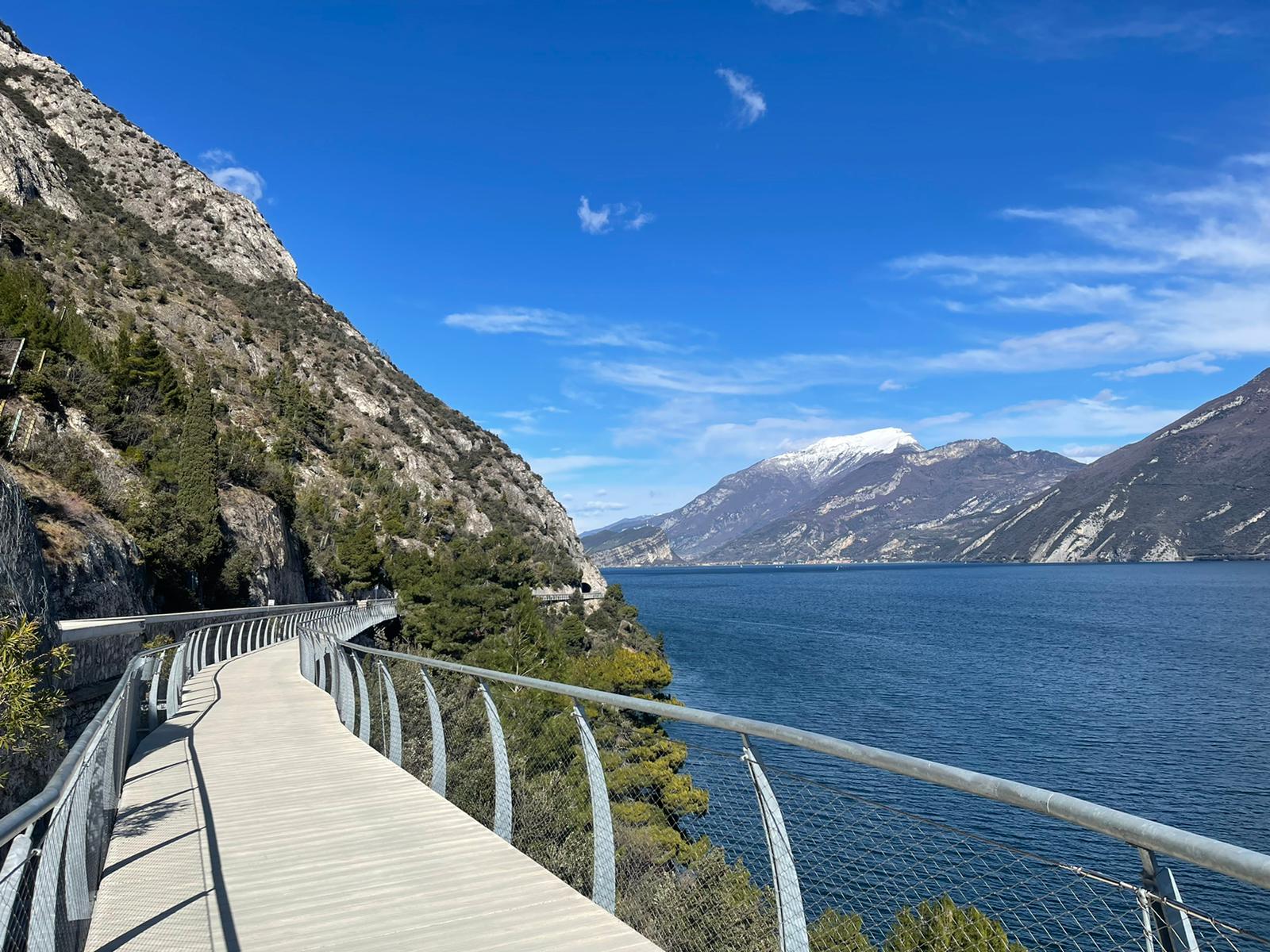
Suspended Limone Cycle Path above Lake Garda
Lake icon

Ciclovia di Limone

Verified routeChecked · 26/09/2026

A relaxed ride from our shop through Limone and out to the suspended path at Capo Reamol, returning along the same beautiful lakeside route.

DistanceAbout 10 km · round trip
Elevation gain+98 m
Approximate time1 h 30–2 h · relaxed pace
DifficultyEasy by e-bike · more effort on a normal bike

From our shop

Collect at Via IV Novembre 20. We prepare the bike and show you the easiest way to begin.

Route details, safety and stops

Official start

Via IV Novembre 20, Limone

Finish

End of the protected Limone section; return the same way

Surface

Paved shared cycling and walking path

Recommended bike

City, trekking or e-bike, matched to rider height

Families

Suitable for many families; pedestrians always have priority

Access status

Checked on 26 September 2026. Conditions and access can change; official notices and signs on the day take priority.

Safety essentials

  • Give way to pedestrians and slow down in busy or narrow sections.
  • Turn back at the border; do not continue on the SS45bis as if it were the cycle path.
  • Check wind, heat, works and access on the day.

Points of interest

Centro storico di Limone

Enjoy the old centre slowly and walk the bike through its busiest lanes.

Capo Reamol

The approach to the suspended section and open lake views.

Passerella sospesa

The iconic shared section above Lake Garda before the turnaround.

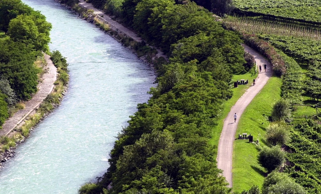
Cycling landscape beside the Sarca river
River route

Ciclabile del Sarca · Torbole–Sarche

Verified routeChecked · 26/09/2026

The official one-way route follows the Sarca from Lake Garda through Arco, Ceniga, Dro and Pietramurata to Sarche. It combines cycle path, urban crossings and a mixed-traffic municipal section.

Distance24.9 km · one way
Elevation gain+233 m
Approximate time2 h · reference
DifficultyMedium

From our shop

Collect at Via IV Novembre 20. Avoid the SS45bis and use a bicycle-friendly boat to Torbole; check timetable and capacity first.

Route details, safety and stops

Official start

Torbole, near the mouth of the Sarca

Finish

Sarche; the protected cycle section ends here

Surface

Asphalt; mixed traffic on the Ceniga–Dro municipal road

Recommended bike

Trekking or E-Trekking; the team confirms fit and range

Families

Officially family-friendly, but 24.9 km one way with shared-road sections

Access status

Checked on 26 September 2026. Conditions and access can change; official notices and signs on the day take priority.

Safety essentials

  • Yield to walkers and runners on this busy shared route.
  • Ride defensively in the Ceniga–Dro mixed-traffic section and urban crossings.
  • Plan the return separately: 24.9 km is one way.

Points of interest

Parco Fluviale della Sarca

River landscapes and environmental interpretation.

Arco

A natural stop on the signed route across the upper Garda plain.

Centrale di Fies

Industrial heritage and a cultural landmark north of Dro.

Marocche

A distinctive post-glacial rocky landscape.

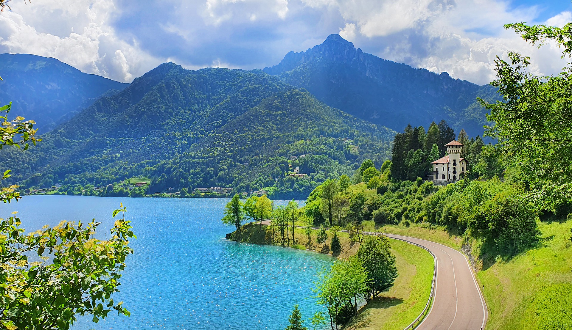
Lake Ledro and its green mountain shoreline
Easy lake loop

Lago di Ledro · Anello da Pieve

Verified routeChecked · 26/09/2026

The official low-elevation family loop from Pieve around Lake Ledro via Mezzolago, Molina and Pur. It is not the difficult Ponale approach from Riva.

Distance10.8 km · loop
Elevation gain+25 m
Approximate time1 h 30 · reference
DifficultyEasy

From our shop

Collect at Via IV Novembre 20. Take a bicycle-friendly boat to Riva instead of the SS45bis, then arrange a separate transfer to Pieve. The 10.8 km starts only in Pieve.

Route details, safety and stops

Official start

Pieve di Ledro

Finish

Pieve di Ledro · round trip

Surface

Mostly asphalt, with short road and dirt sections

Recommended bike

City, trekking or comfortable e-bike

Families

Officially family-friendly; match distance, traffic confidence and bike fit to each child

Access status

Checked on 26 September 2026. Conditions and access can change; official notices and signs on the day take priority.

Safety essentials

  • Follow traffic rules on road sections and ride carefully through villages.
  • Yield on shared paths and slow down near pedestrians and families.
  • After rain, expect slippery patches on short unpaved sections.

Points of interest

Sponde del Lago di Ledro

Open lake views throughout the circuit.

Mezzolago

A lakeside village on the official roadbook.

Museo delle Palafitte

The archaeological stop near Molina linked to the Alpine UNESCO pile dwellings.

Pur · Ledro Land Art

A nature-and-art stop near the south side of the lake.

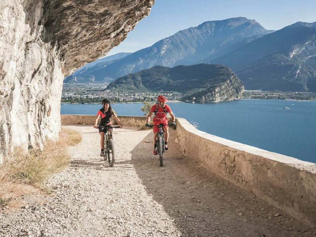
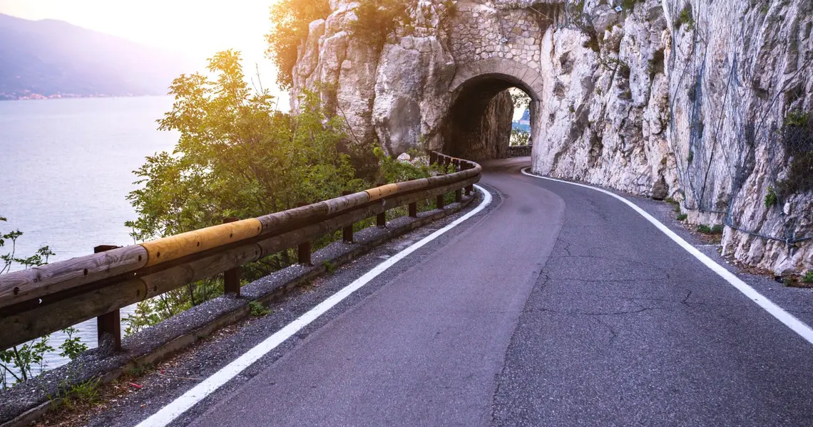
Cyclists on the historic Ponale road
Historic cliff road

Ponale Gravel Tour · Riva–Pregasina

Verified routeChecked · 26/09/2026

The official out-and-back gravel route from Riva to Pregasina uses the historic Ponale trail, tunnels and a substantial paved climb. It is not a flat lakeside cycle path.

Distance14.4 km · round trip
Elevation gain+858 m
Approximate time2 h 45 · reference
DifficultyIntermediate

From our shop

Collect at Via IV Novembre 20. Avoid the SS45bis and take a bicycle-friendly boat to Riva, then start in Piazza III Novembre.

Route details, safety and stops

Official start

Piazza III Novembre, Riva

Finish

Pregasina; return to Riva on the ascent route

Surface

Mostly asphalt, plus road and short dirt sections; optional steep cement descent

Recommended bike

Gravel or MTB; E-MTB can reduce the physical load

Families

Not a standard family route; assess every rider's fitness and handling

Access status

Checked on 26 September 2026. Conditions and access can change; official notices and signs on the day take priority.

Safety essentials

  • Use working lights in the tunnels and wear a helmet.
  • Give way to hikers and slow down in narrow, busy or exposed sections.
  • Follow the exact official variant; Ponale has several different extensions.
  • Skip the optional steep cement descent if it exceeds your ability.

Points of interest

Sentiero del Ponale

The historic cliff road above Lake Garda.

Ponte sulla forra del Ponale

A dramatic crossing before the Pregasina climb.

Tagliata del Ponale

Visible through gates in the third tunnel; interior access is not promised.

Pregasina

The high turnaround area with wide views over Lake Garda.

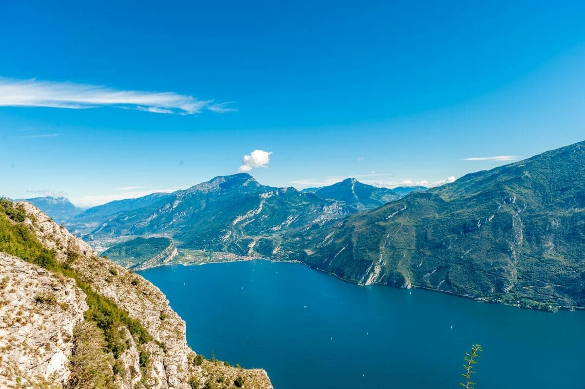
Lake Garda panorama from the Punta Larici area
Full-day MTB

Area Punta Larici · Bocca Fortini 776

Verified routeChecked · 26/09/2026

A demanding official MTB circuit from Riva via Ponale, Lake Ledro, Bocca Fortini, Passo Rocchetta and the Bocca Larici viewpoint area. It is not the separate exposed hiking path.

Distance35.2 km · loop
Elevation gain+1,530 m
Approximate time6 h · reference
DifficultyDifficult

From our shop

Collect at Via IV Novembre 20. Avoid the SS45bis and take a bicycle-friendly boat to Riva; the official loop starts at the Info Point.

Route details, safety and stops

Official start

Garda Trentino Info Point, Riva

Finish

Riva del Garda · round trip

Surface

Mixed asphalt, dirt road, natural trail and technical path

Recommended bike

MTB; assess skill, battery and setup before choosing E-MTB

Families

Not a general family route; technical and physical demands are high

Access status

Checked on 26 September 2026. Conditions and access can change; official notices and signs on the day take priority.

Safety essentials

  • Carry water, food, weather layers, tools, first aid and offline navigation.
  • Use only authorised open trails and avoid mud after rain.
  • The Malga Palaer descent has roots, steps, rocks and tight bends.
  • Do not ride the exposed hiking spur to Punta Larici without explicit current permission.

Points of interest

Sentiero del Ponale

The opening climb above Lake Garda.

Lago di Ledro · Museo delle Palafitte

The route passes the lakeside museum before the mountain climb.

Bocca Larici

A high viewpoint area near Punta Larici; the exposed hiking spur is separate.

Regina Mundi

A panoramic stop on the return toward Ponale.

High mountain gravel landscape near Passo Nota
Mountain forest loop

Passo Nota · Anello da Vesio

Verified partial dataChecked · 26/09/2026

A mostly unpaved MTB/e-MTB loop from Vesio through the Alto Garda Bresciano Park to Passo Nota at 1,208 m, returning on forest and secondary roads. It does not continue to Tremalzo.

DistanceAbout 20.7 km
Elevation gainAbout +730 m
Approximate timeNot published
DifficultyMTB experience required

From our shop

Collect at Via IV Novembre 20. The official loop starts in Vesio; ask the team to confirm the road transfer and current access.

Route details, safety and stops

Official start

Public parking near Vesio centre

Finish

Vesio · round trip

Surface

Predominantly unpaved dirt and forest roads, with some paved sections

Recommended bike

MTB or E-MTB in sound condition

Families

Not published as family-friendly; experienced, independent riders only

Access status

No live open/closed status was published for this exact loop on 26 September 2026; check the Park source and conditions on the day.

Safety essentials

  • Do not ride muddy or dangerous trails; remain on official routes.
  • Expect limited phone coverage; share your plan and carry water, food and offline navigation.
  • Uphill users have priority and cyclists yield to walkers.
  • Passo Nota is 1,208 m; reject route files that label it at 1,700 m.

Points of interest

Passo Nota · 1.208 m

The historic border pass between Lombardy and Trentino.

Rifugio Alpini Passo Nota

A named landmark near the pass.

Paesaggio della Grande Guerra

Fortifications, trenches and defensive lines around the pass.

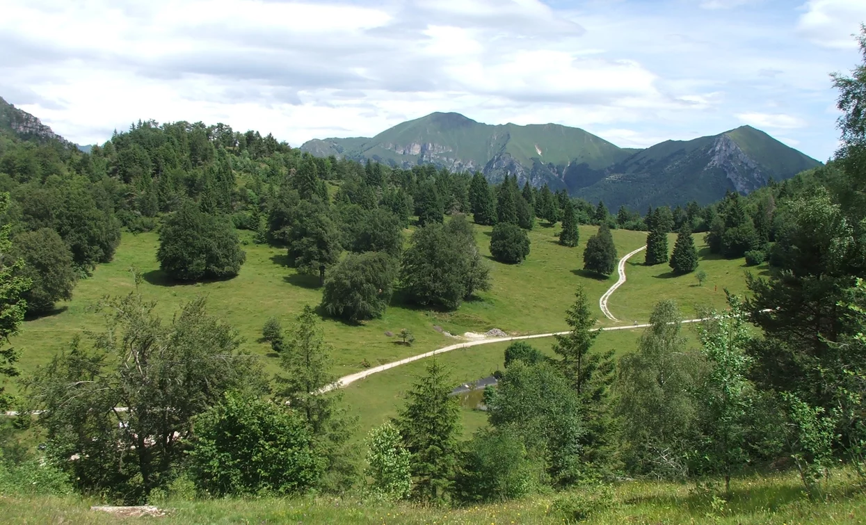
High mountain gravel landscape in the Tremalzo area
Expert mountain loop

Tremalzo Big Tour 779 · Pieve

Verified routeChecked · 26/09/2026

Official difficult Route 779 from Pieve climbs to Passo Tremalzo and returns on historic military roads through Passo Nota and Bocca Fortini to Lake Ledro.

Distance45.8 km · loop
Elevation gain+1,425 m
Approximate time6 h · reference
DifficultyDifficult

From our shop

Collect at Via IV Novembre 20. Take a bicycle-friendly boat to Riva instead of the SS45bis, then arrange a separate transfer to Pieve. The 45.8 km starts only in Pieve.

Route details, safety and stops

Official start

Tourist-office car park, Pieve di Ledro

Finish

Pieve di Ledro · round trip

Surface

Mixed asphalt, road, dirt road and natural/forest trail

Recommended bike

MTB; E-MTB only with sufficient battery and handling skill

Families

Not suitable as a general family or beginner ride

Access status

Checked on 26 September 2026. Conditions and access can change; official notices and signs on the day take priority.

Safety essentials

  • Carry food, water, layers, tools, first aid, navigation and the emergency number 112.
  • Do not ride alone; share your route and expected return time.
  • Ride only authorised open trails and avoid mud after rain.
  • Control speed on military-road and forest descents; yield to hikers.

Points of interest

Riserva del Lago d'Ampola

The route passes near the reserve before the Tremalzo climb.

Passo Tremalzo

The high mountain destination before the military-road return.

Bocca di Val Marza

A tunnel and landmark near the route's high point.

Passo Nota

A historic pass on the return before Bocca Fortini.

Stone gorge landscape at Strada della Forra
Public-road climb

Strada della Forra SP38 · Salita

Verified partial dataChecked · 26/09/2026

A paved climb on the SP38 from the Gardesana junction through the Brasa gorge to Pieve. It is a shared public road with tunnels and motor traffic, not a protected cycle path.

DistanceAbout 5.8 km · uphill
Elevation gainAbout +200 m
Approximate timeNot published
DifficultyConfident road riders only

From our shop

Collect at Via IV Novembre 20. The climb starts at the SP38 junction, not at the shop; confirm the public-road transfer with the team. This is not a protected route from Limone.

Route details, safety and stops

Official start

SP45bis Gardesana junction with SP38

Finish

Pieve, Tremosine sul Garda

Surface

Paved public road

Recommended bike

Road, trekking, MTB or e-bike with strong front and rear lights

Families

Not recommended for families, beginners or riders uncomfortable with traffic

Access status

Reopened on 13 March 2026 with permanent uphill one-way traffic to La Forra; current signs and lights always prevail.

Safety essentials

  • Ride uphill only through the one-way section; never follow a downhill variant.
  • Use front and rear lights and high-visibility clothing in tunnels and traffic.
  • Expect vehicles, blind bends, narrow passages and traffic lights.
  • Check the Pro Loco notice on the day; the slope remains monitored after rockfall works.

Points of interest

Forra del Brasa

The narrow gorge defining the climb; stop only at lawful safe points.

Pieve

The upper village and finish area above Lake Garda.

Terrazza del Brivido

A nearby high viewpoint to plan separately after the climb.

Plan with reliable information

The right route begins with the right variant and the right bike.

Each route uses one precisely named variant with sourced metrics, safety notes and an explicit access plan from the shop.